Back
災害発生地点および強震観測点での微動1点観測
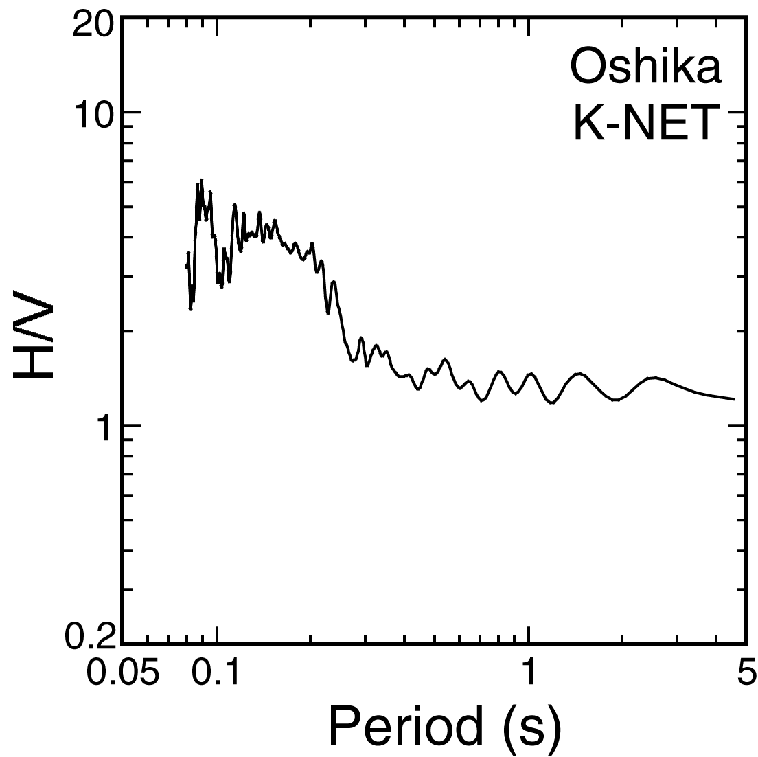
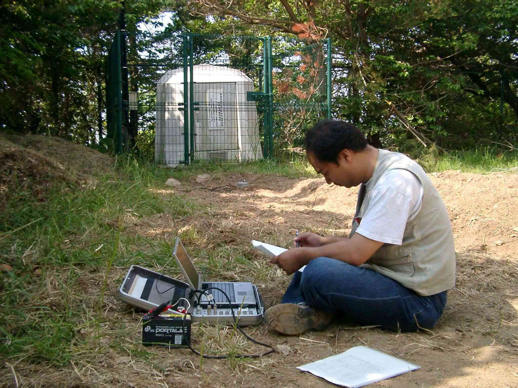
K-net 牡鹿観測点(MYG011)
GPS側位結果:括弧内は標準偏差
N 038°17.6282′(0.0018)
E 141°30.4706′(0.0014)
H/V Spectrum of Microtremor | Photograph |
|
|
|
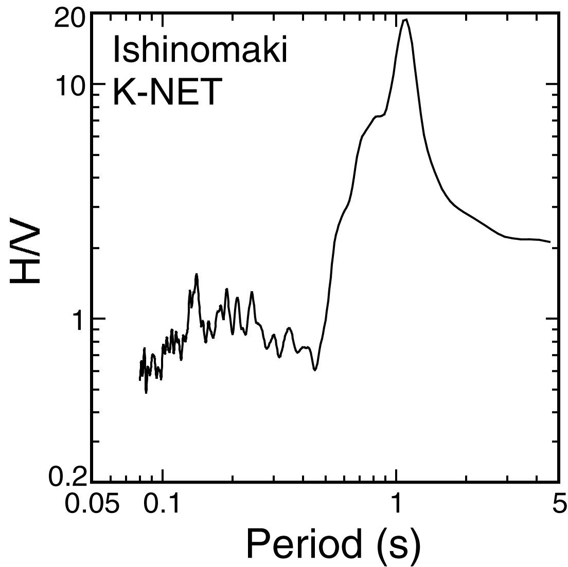
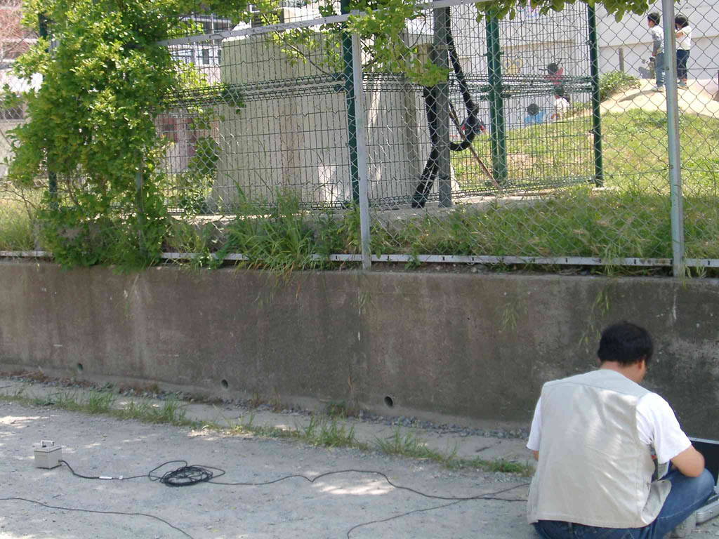
K-net 石巻観測点(MYG010)
GPS側位結果:括弧内は標準偏差
N 038°25.5163′(0.0008)
E 141°17.0772′(0.0015)
H/V Spectrum of Microtremor | Photograph |
|
|
|
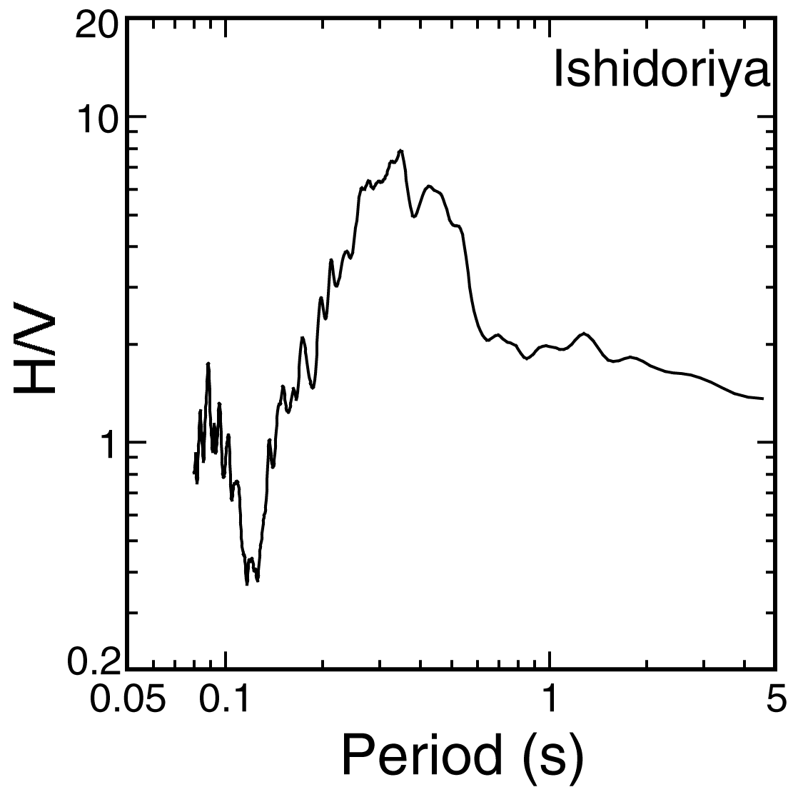
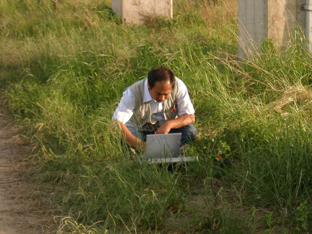
石鳥谷町 新幹線高架橋被害の近傍
GPS側位結果:括弧内は標準偏差
N 039°27.4179′(0.0004)
E 141°10.7553′(0.0006)
H/V Spectrum of Microtremor | Photograph |
|
|
|
気仙沼市での微動観測点
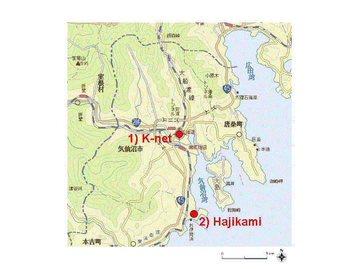
※Yahoo 地図に加筆.
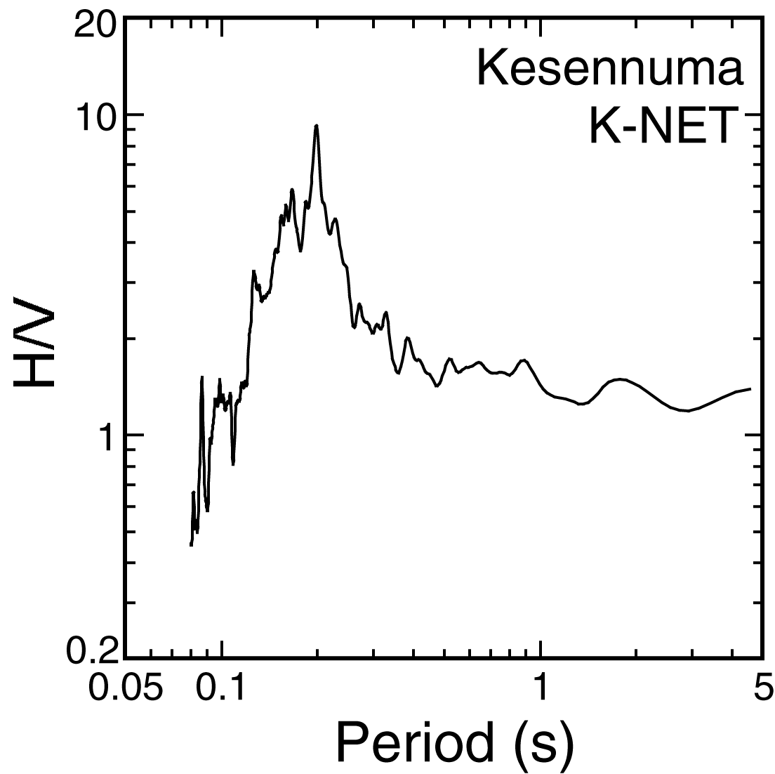
1) K-net 気仙沼観測点(MYG001)
GPS側位結果:括弧内は標準偏差
N 038°53.9206′(0.0012)
E 141°34.4645′(0.0019)
H/V Spectrum of Microtremor | Photograph |
|
|
|
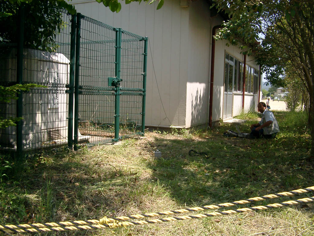
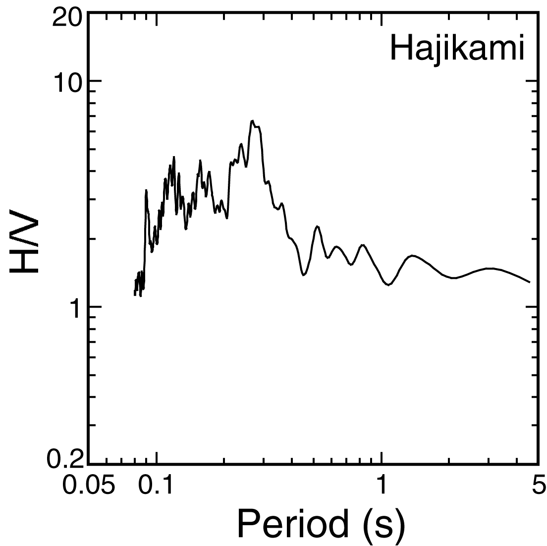
2) 気仙沼市波路上 地福寺付近
GPS側位結果:括弧内は標準偏差
N 038°49.7817′(0.0009)
E 141°35.2392′(0.0006)
H/V Spectrum of Microtremor | Photograph |
|
|
|
大船渡市での微動観測点
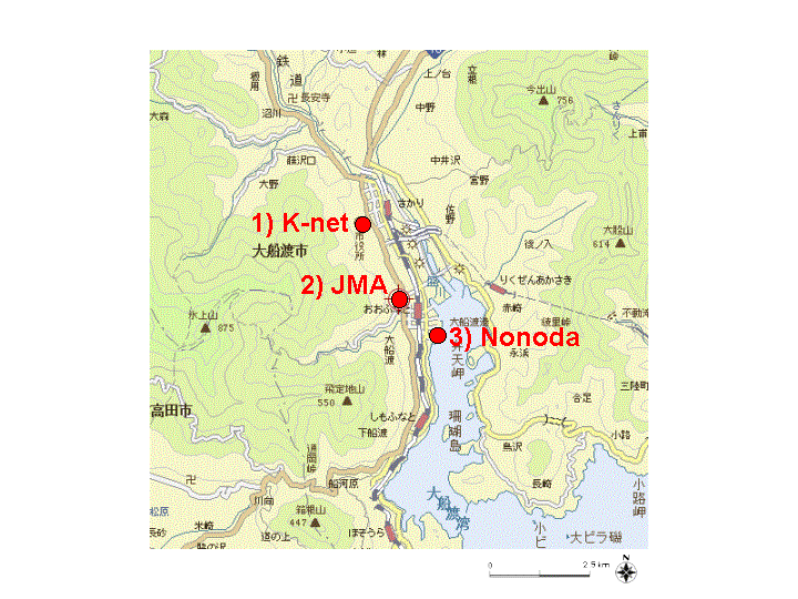
※Yahoo 地図に加筆.
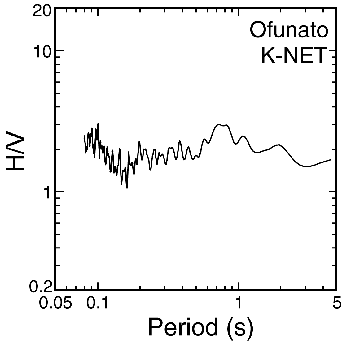
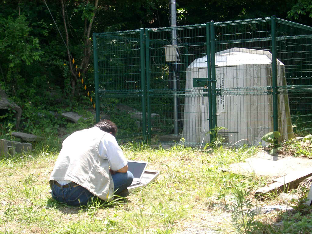
1) K-net 大船渡観測点(IWT008)
GPS側位結果:括弧内は標準偏差
N 039°04.7191′(0.0014)
E 141°42.7630′(0.0004)
H/V Spectrum of Microtremor | Photograph |
|
|
|
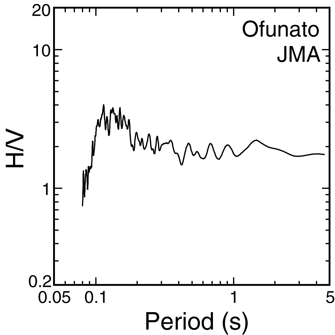
2) 気象庁大船渡測候所
GPSは欠測
H/V Spectrum of Microtremor | Photograph |
|
|
|
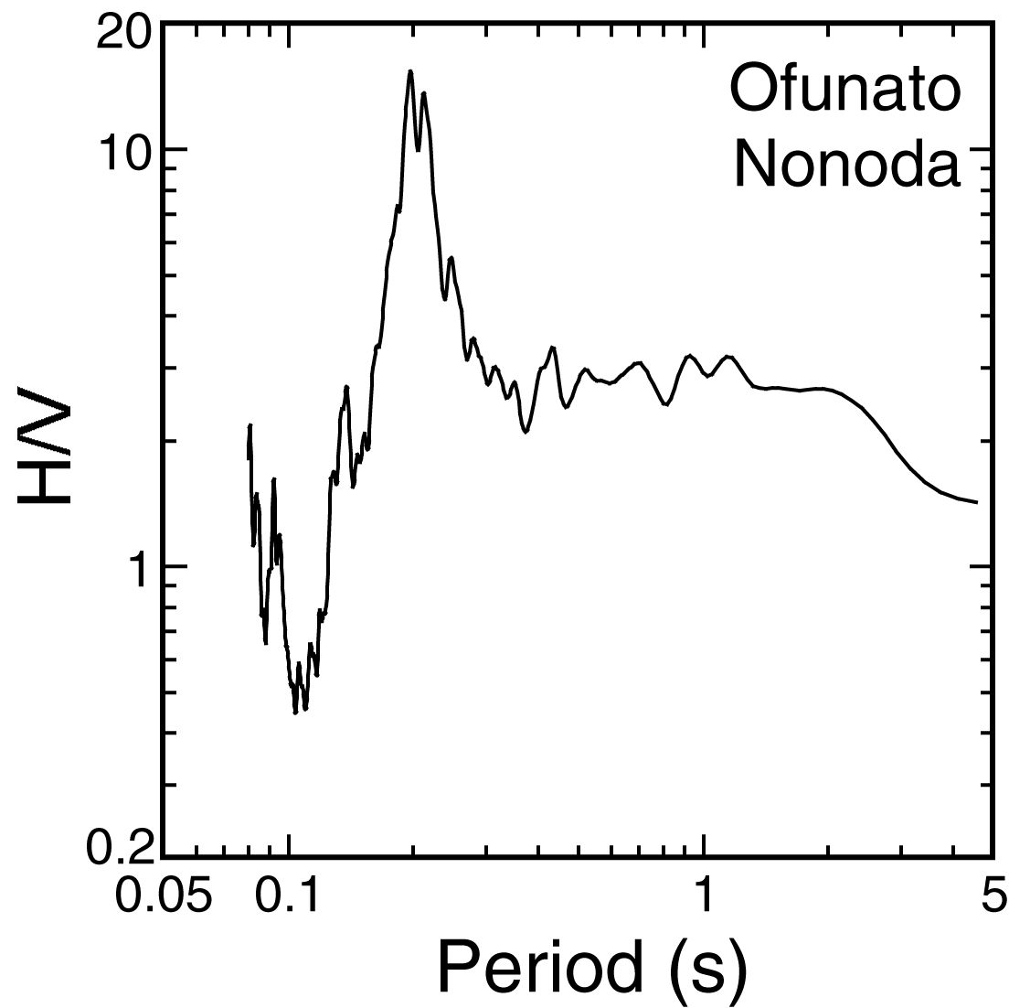
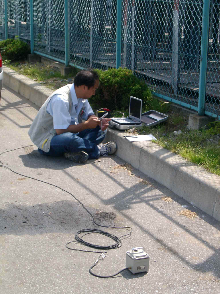
3) 大船渡市大船渡町野々田 大船渡港野々田地区
GPSは欠測
H/V Spectrum of Microtremor | Photograph |
|
|
|
Back


